Racial Mapping Austin
Introduction
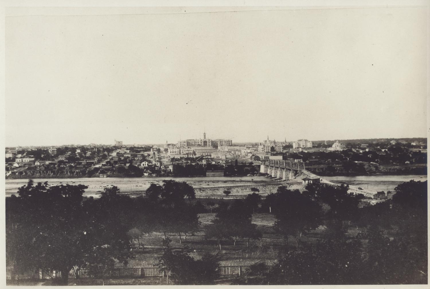
Racial identity has been a central element of the constitution of Austin as a place since its very beginnings. What is now the city of Austin began as an Anglo settlement on indigenous lands in Mexico’s far-northern frontier. The primary motor of Anglo arrival was the cultural advance of the southern US cotton-slave economy, and with Anglos came Black people. The latter, as enslaved people, represented the bulk of the capital investment in this new economy, adding a fourth racial-ethnic population to the Central Texas mix.
As a result of the active exclusion of Tejanos-Mexicans and indigenous peoples by Anglos Texans during the Texas Republic era, the population of this newly formed capital became racially binary – White and Black. By the end of the Civil War, as freed Black people fled the former plantations of Central Texas, they reached over a third of Austin’s inhabitants. These refugees from plantation life settled in small communities surrounding the capital’s core, creating vibrant semi-autonomous outposts of Black life including schools, businesses, and churches. With time, small Mexican American communities also sprang up, but as late as 1910, they made up only about 1.7% of the total Austin population (McDonald 2012).
The period between 1910 and 1930 brought significant shifts in Austin’s racial demography. Between 1910 and 1920, there was a precipitous downwards shift in the Black population due to outmigration for economic reasons and the deepening of Jim Crow race relations in Austin. Simultaneously, the population of people of Mexican descent grew as demand for immigrant labor in the Central Texas cotton hinterland rose with the expansions of the railroads and the consolidation of agrobusiness. The defining racial event of this era was the Austin City Plan of 1928 in which the elimination of Black settlements outside of East Austin became official city policy.
The interactive maps below provide residential data of Austin’s inhabitants as found in the US censuses of 1880, 1900, 1910, 1920, 1930, 1940, and 1950. They provide documentation of the spatial patterning of Austin’s racial demography during this pivotal period in the City’s racial history. The city was becoming a tri-racial-ethnic society, and two of the three racial-ethnic groupings were relegated to specific areas of town. These maps seek to document the dynamics of the time by offering greater detail about historic communities of color. They contribute to our effort to recall Black life in Austin from its historical silence. Along with this, we also embark on remembering those others forgotten.
Reference: McDonald, James. 2012. Racial Dynamics in Early Twentieth-Century Austin, Texas. Lanham, MD: Lexington Books.
Instructions for using the interactive maps
- Open the “Map Layers” tool on the bottom toolbar to explore the data. The Map Layer panel will open in the upper-right corner.
- Each decade includes a layer of points (named Households [Decade]) and an enumeration map layer.
- Click the eye icon next to a layer to make it visible and invisible. If the eye icon has a strikethrough, it means the layer is currently invisible. You can see a layer of points on the map layer from the same year and from different years by making the layers you want to see visible.
- Open the “Legend” tool on the bottom toolbar to see which colors correlate to which racial groups. The Legend panel will open in the upper right corner.
- The Legend panel only shows the legend for layers that are currently visible.
- Click on a dot on the map to see information about the head of that household appear.
- To see information about the other people living in that household, scroll to the bottom of that person’s information. You will see a heading reading “Householders.” If multiple people live with them, you can click “Show all” to see a list of them. If only one other person lives with them, you will see their name listed below the “Householders” heading.
- Click on the tab with a person’s name in this list to learn more about them.
- Use the ‘X’ button in the upper right corner of a panel to close it.